Behind the cryptic acronym CIVIS BIP HUS vlies a great idea. CIVIS is a European university alliance to which PLUS also belongs. One of the aims of this alliance is to be able to offer cross-university teaching for students. The second abbreviation plays a decisive role here. BIP stands for Blended Intensive Programme. This is a combination of online and on-site teaching. Students take part in an online course for around 3 months, which is then completed with a week of presence at one of the CIVIS universities.
The head of the Mobility Lab, Martin Loidl, was involved in both phases of the BIP “Healthy Urban Systems”, which was offered for the first time. In three Coursera courses – organised under the leadership of Prof. Céline Rozenblat (geographer at the University of Lausanne) – experts from a wide range of disciplines taught methodological skills for modelling and simulating complex systems, which were then applied to health issues in urban agglomerations. It goes without saying that geoinformatics makes an important methodological contribution here.
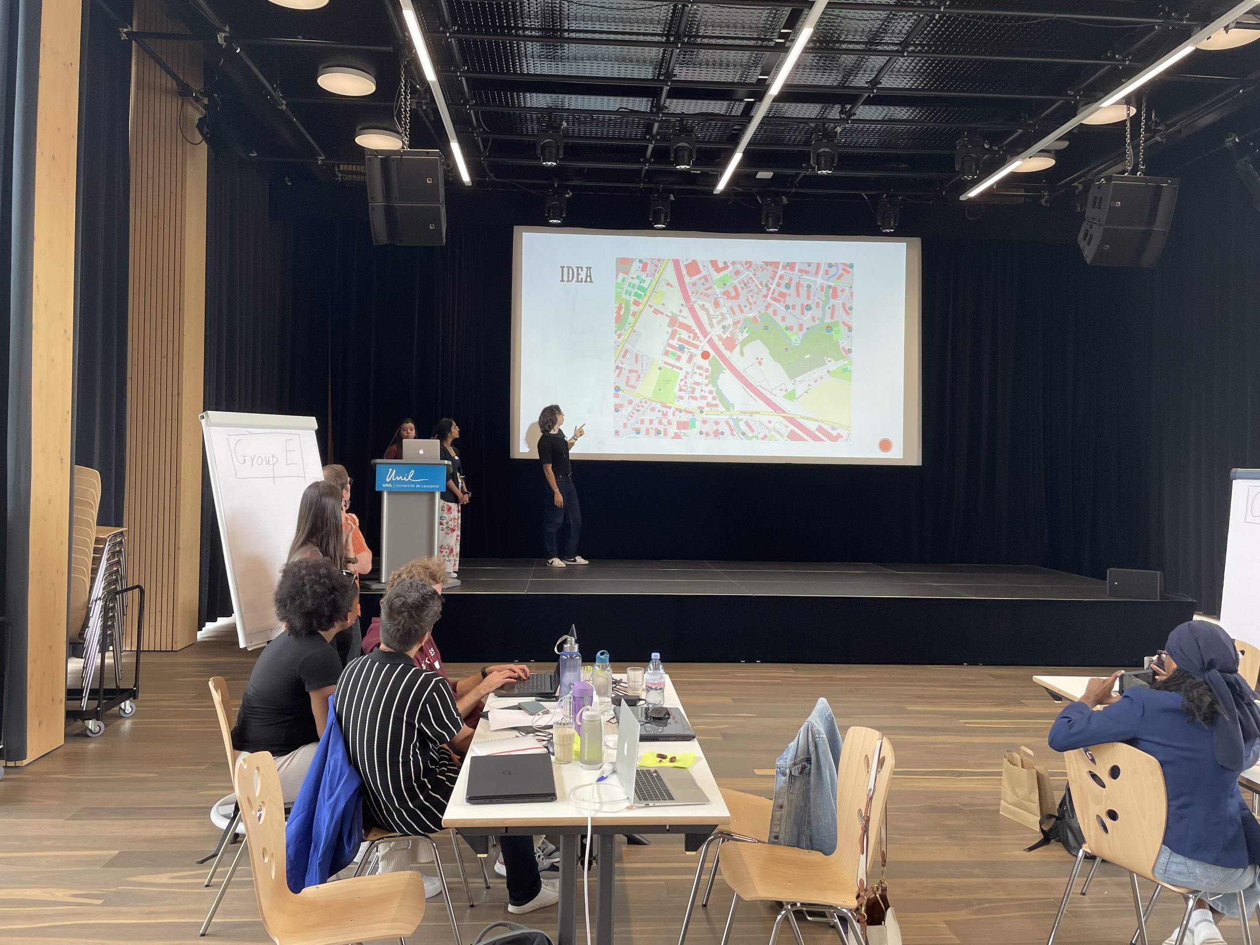
The first week of July was dedicated to the joint application of what had been learnt. From 1 July, students from Dakar, Bucharest, Athens, Rome, Lausanne, Salzburg, and Marseille worked on real-world challenges. The BIP participants represented an astonishing range of disciplines. Medical professionals were represented alongside sociologists, data scientists and geographers.
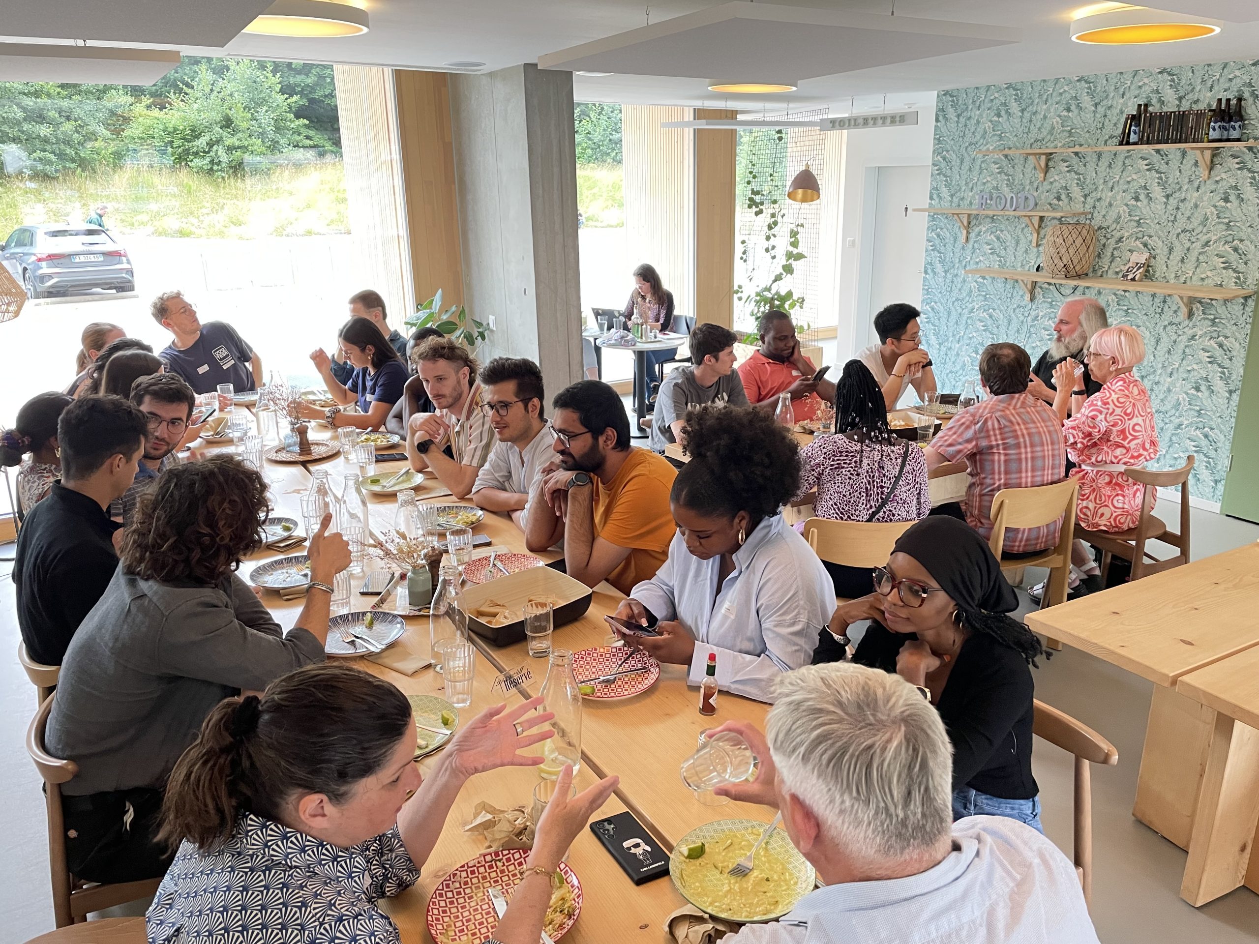
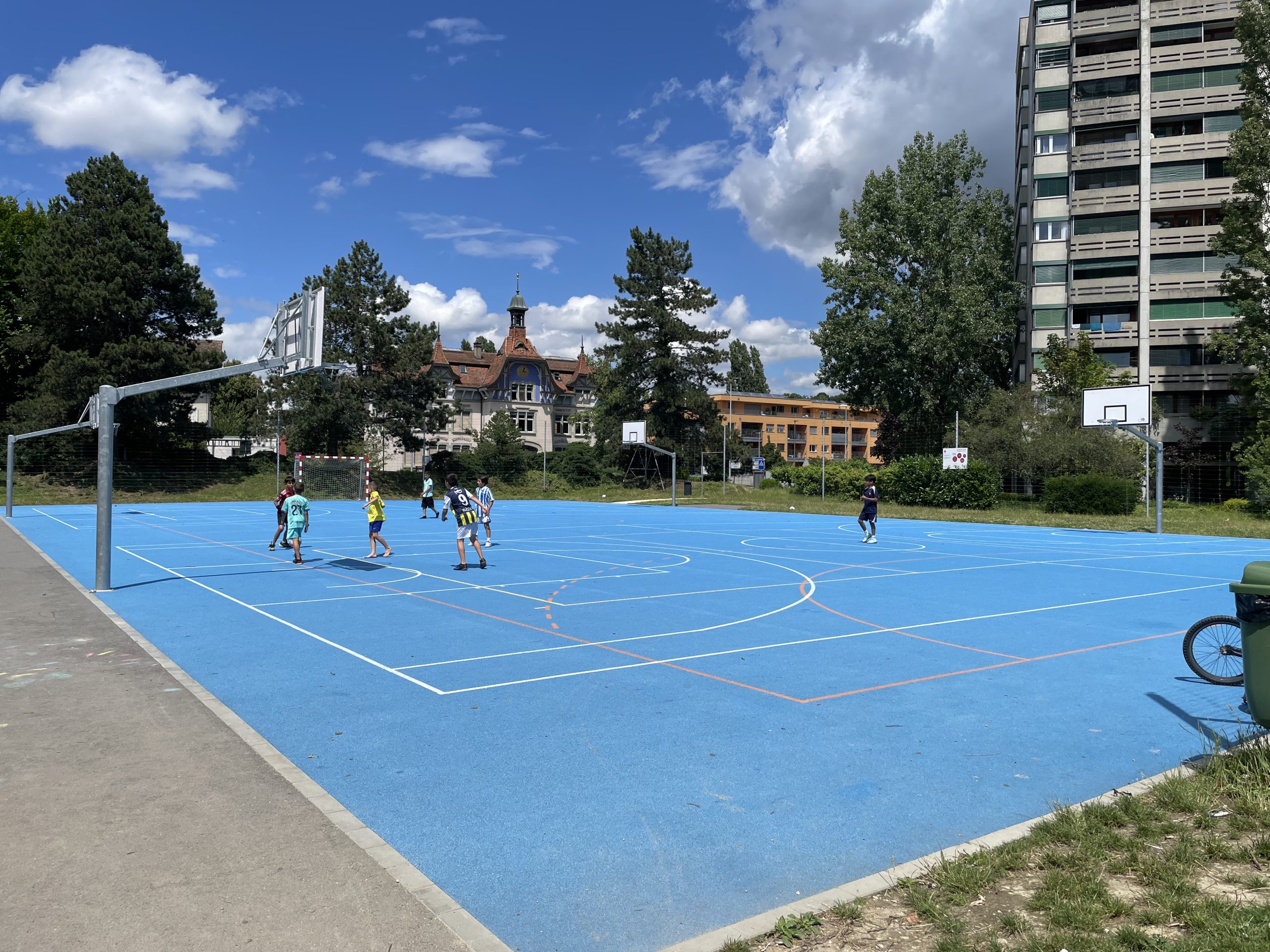
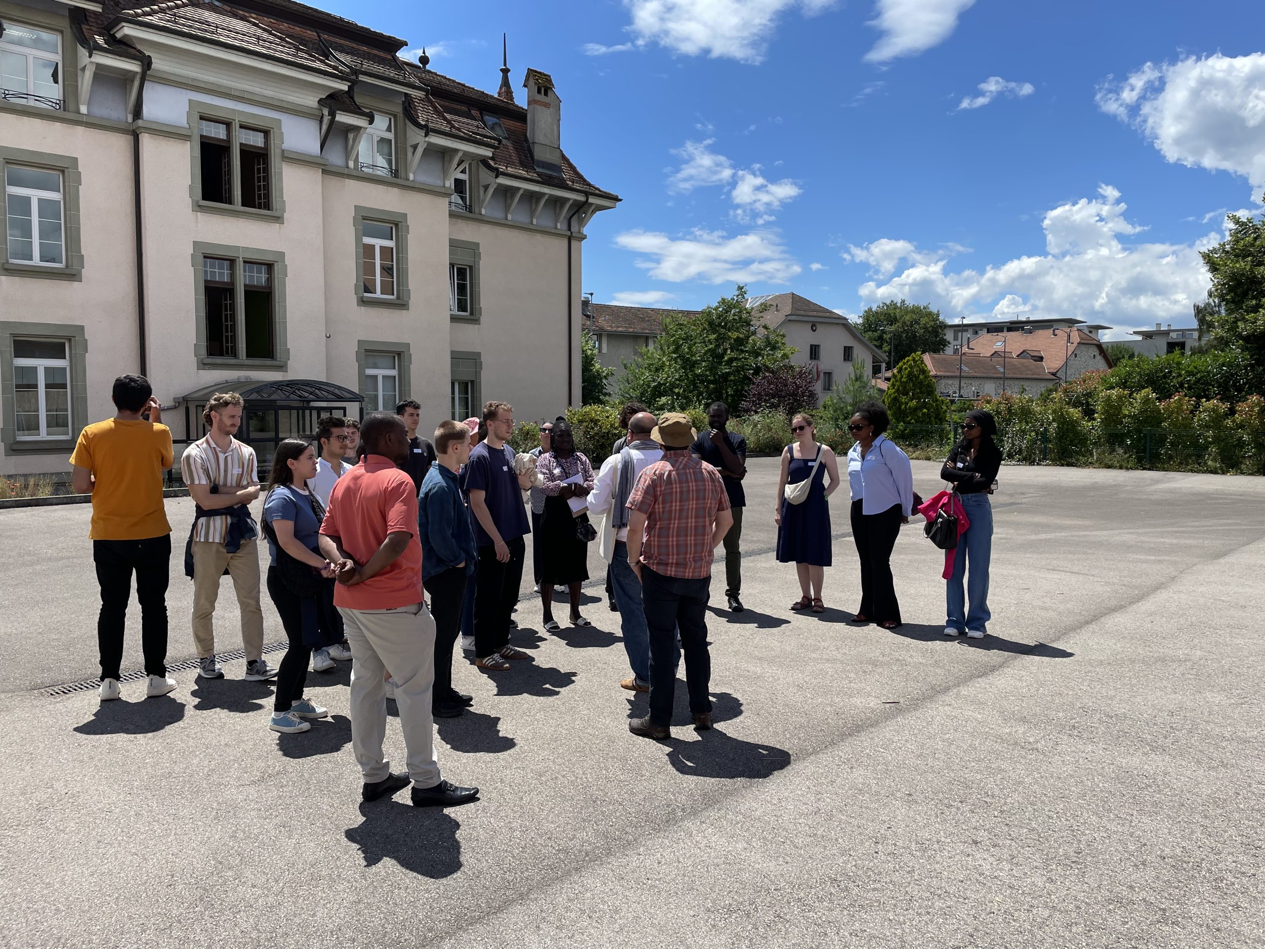
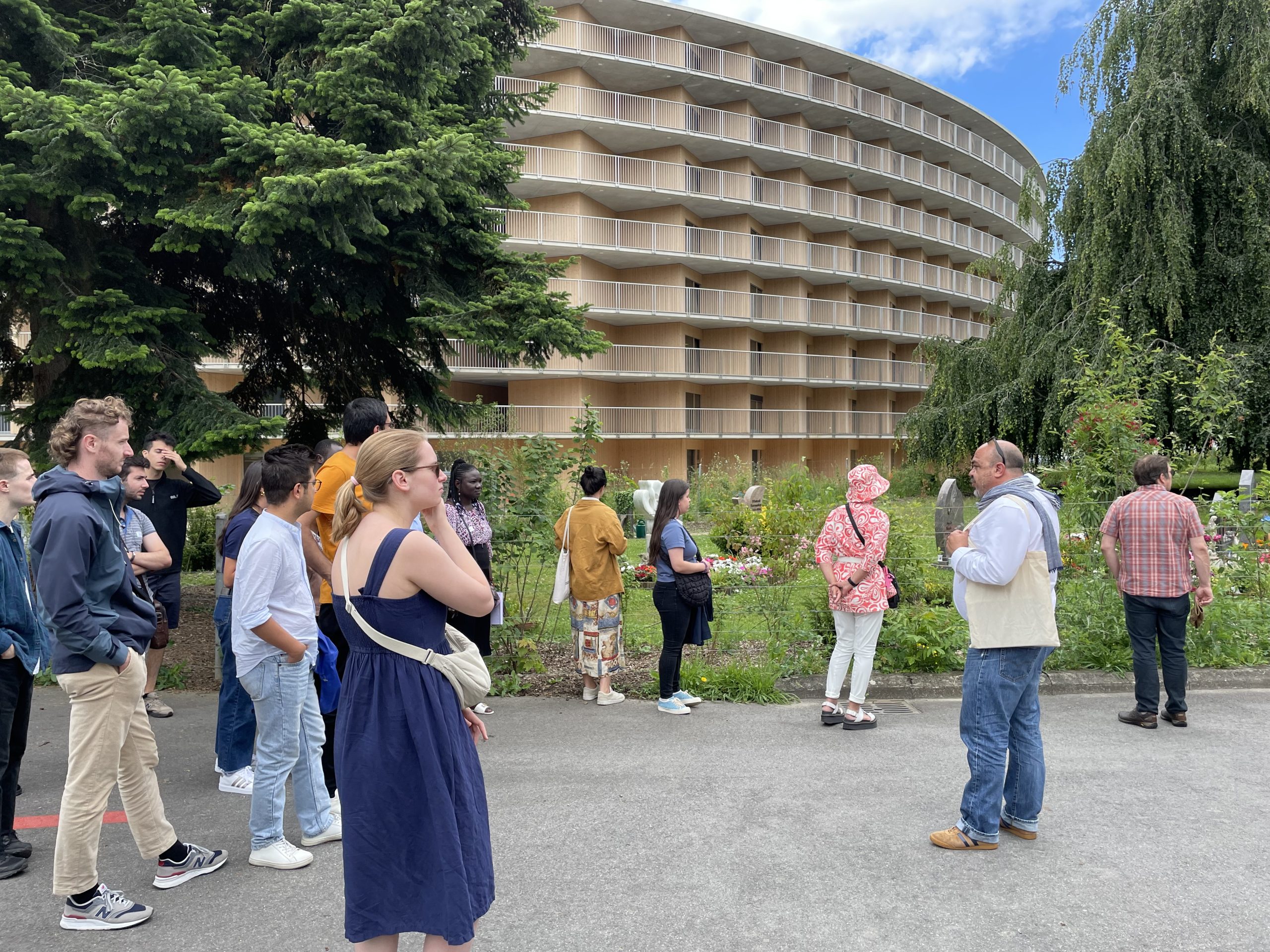
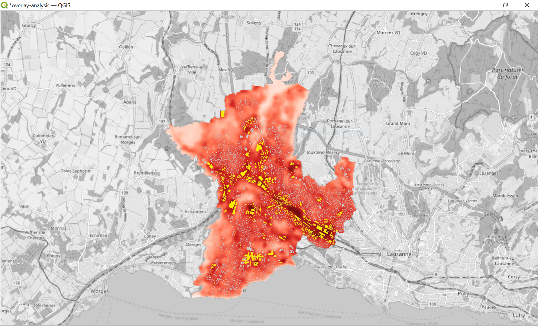
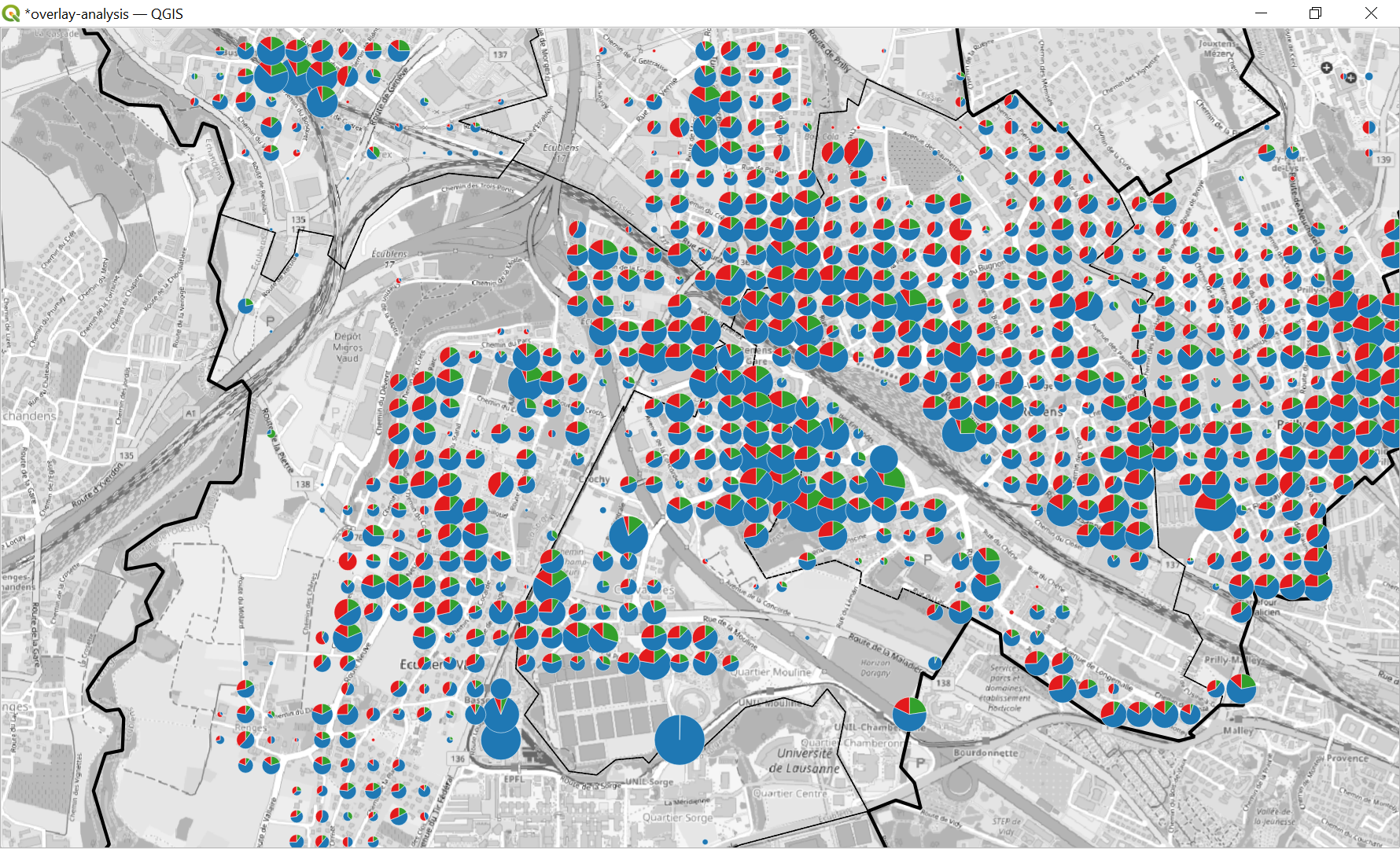
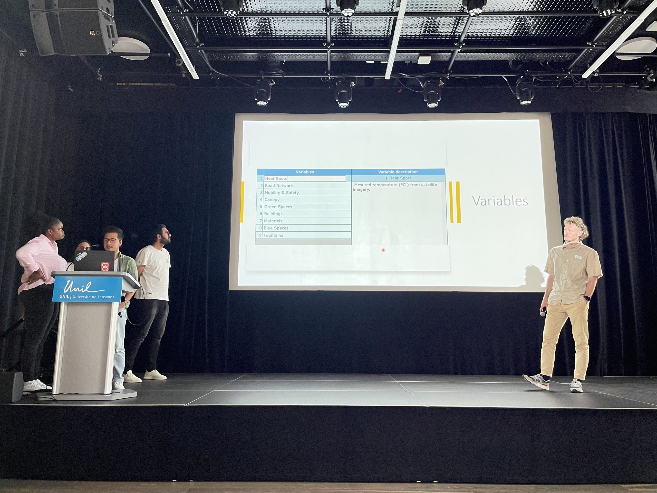
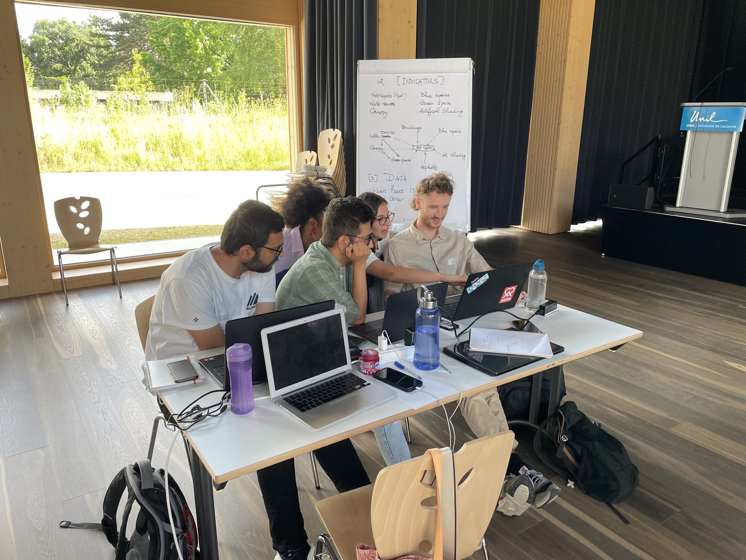
The presence phase of the BIP was designed as a transdisciplinary project and was hosted by the Université de Lausanne. The subject of the research was the health effects of heat islands in a suburb of Lausanne, Chavannes. Squeezed between linear transport infrastructure, the town has experienced rapid growth in recent decades. Areas that were previously used for agriculture have been successively built on; bodies of water have been partially built over. Representatives of the municipality of Chavannes and scientists who have carried out various projects here presented their view of the situation. The students also gained their own impression of the situation during several excursions and explorations in the field. Their task was then to build a holistic system model, reflect on it together with stakeholders from Chavannes and then simulate interventions.
Together with Prof. Sébastien Gadal from Université de Aix-Marseille, Martin taught the basics of geoinformatics in several sessions. At the end, the students were able to analyse the spatial distribution of age groups or identify buildings that are particularly affected by heat islands, among other things. The project relied exclusively on open data and open source software. This has the great advantage that students can use GIS independently of licences in their student or later professional lives.

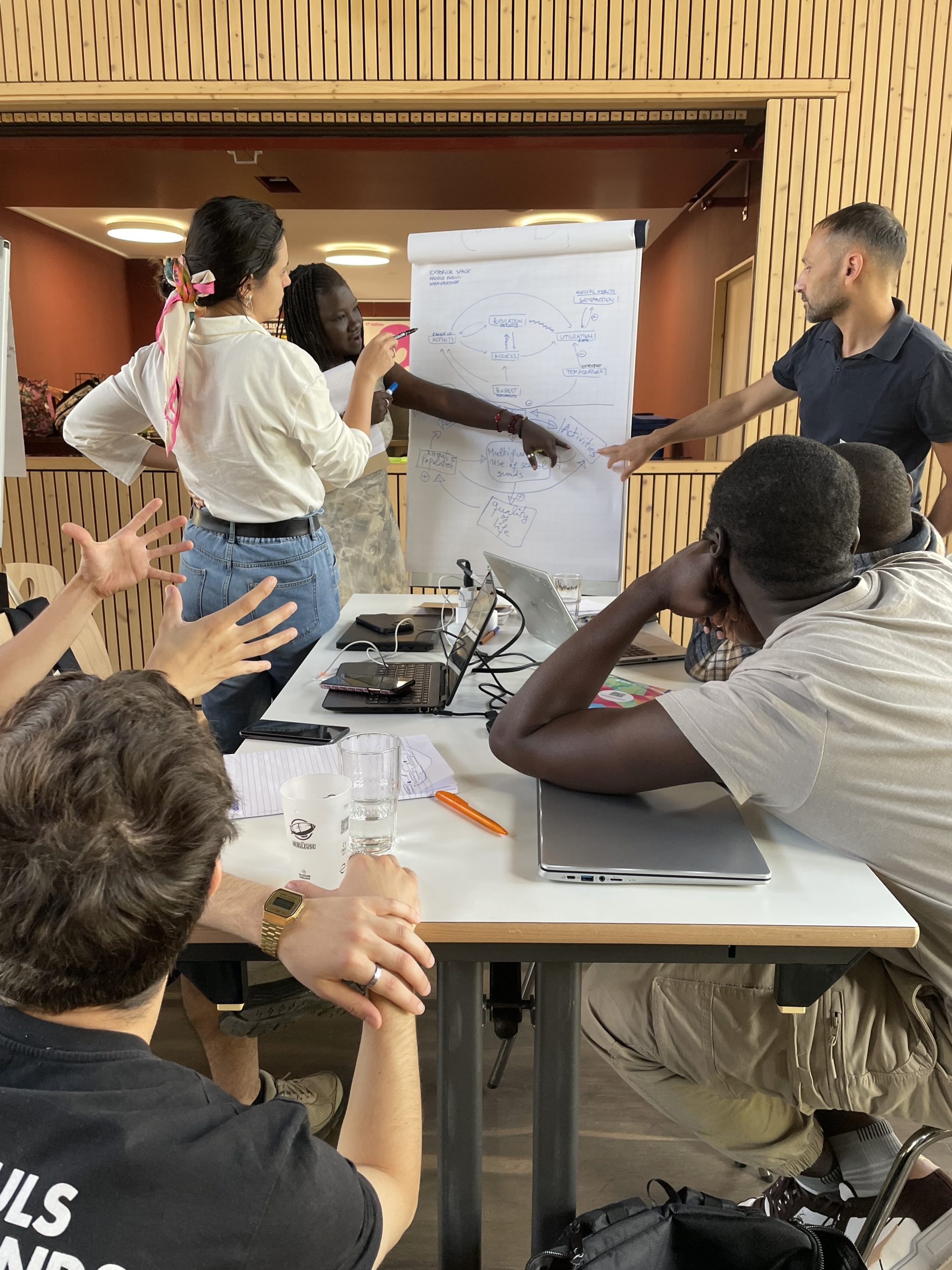
As always with interdisciplinary and transdisciplinary projects, a common language literally has to be found. Each discipline comes with its own concepts and vocabulary. Finding a common denominator and then addressing problems together is always “exhausting” at the beginning, but ultimately rewarding. Martin spent half a day working with the students to abstract problems appropriately, define system boundaries and the spatial and temporal scale and then specify the key system variables. On this basis, the appropriate data could later be processed. Here, Martin was able to draw on methods and tools that were developed and used in the POSITIM and DyMoN research projects, among others.
Leave A Comment