Research
The integration of different perspectives on mobility based on the common spatial reference requires innovative approaches in different areas of geoinformatics. We continue to use and develop concepts and methods of geoinformatics in order to contribute to a better understanding of the diverse connections and dependencies between mobility and spatial conditions.
Research Areas
In the broader application context of mobility there are innovations
promoted in the following areas
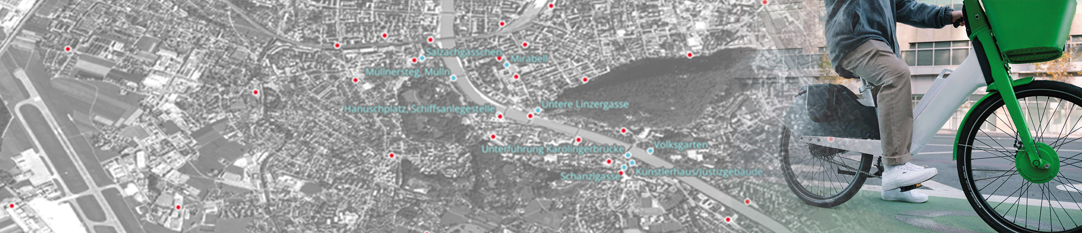
Geoinformation
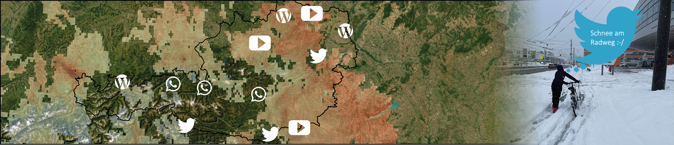
Spatial Models & Simulation
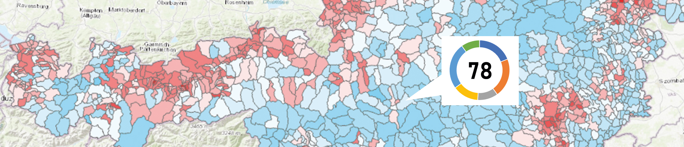
Spatial Analysis
Geovisual Interfaces
Research Projects
Research performance is within the scope of funded research projects
and institutionally financed projects
Research is carried out within the framework of funded research projects and institutionally financed projects. As a rule, this is done in interdisciplinary consortia. These allow the transfer of data and methods from the field of geoinformatics into the respective domains of mobility research. For an overview of all our research projects, see here.


Study and Research
Are you interested in getting practical insights into research activities and contributing yourself? The involvement of students in our research projects is very important to us. Take a look at the topic suggestions for theses and project work or register with your own ideas.
- tag:blogger.com,1999:blog-6331538573407667911.post-9076234783640727609
- Spatial Group Model Building for Investigating Mobility Trends
- Validating OpenStreetMap Data for Public Transport Stops Using Street-Level Imagery
- Spatial and Modal Patterns of Traffic Law Enforcement in Barcelona: Insights from Open Government Data
- Accessibility analysis of urban green and blue space
- Analysis of mobility patterns at PLUS
- Accessibility analysis of central facilities
- Spatial analysis of overtaking manoeuvres
- Route choice and routing
- Bikeability and walkability: Quantitative assessment of infrastructure suitability for cycling and walking
- Network data - The basis for systemic assessment of mobility infrastructure
- Exploring the value of bicycle counting data