At the end of October our doctoral researchers Christian Werner and Lucas van der Meer attended the Cycling Research Board Annual Meeting (CRBAM) in Wuppertal, Germany. It is fair to say that this event is quite different from your average scientific conference. At CRBAM the intention is to create an open and inclusive “camping vibe”. Traditional keynotes are replaced by plenary workshops in which everyone actively takes part. The parallel sessions are designed to be interactive and engaging as well, preventing a series of monotone PowerPoint presentations followed by short question rounds. Accepted contributions are not limited to scientific papers. Instead, you can bring wild ideas, requests for feedback and inspiration, and things you tried but failed. In practice it turns out that such a structure results in deeper discussions and is much more valuable for both the presenters and the audience.
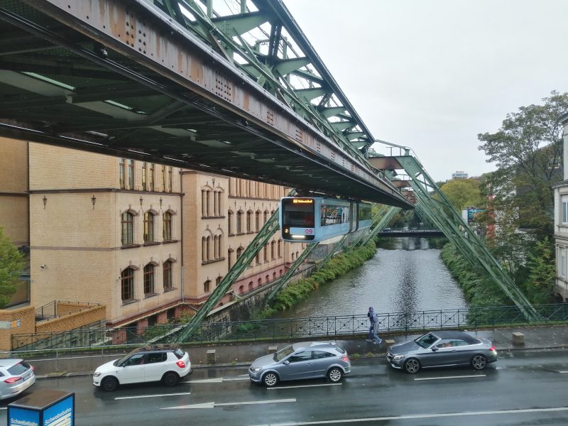
Wuppertal captured in a picture: cars and the infamous Schwebebahn
For us these shaped the perfect conditions to seek expert feedback on our automated workflow for bikeability assessment. This is a development that has been ongoing at the Mobility Lab for almost a decade but was recently brought to the next level when we released our open-source NetAScore toolbox. The toolbox allows users to compute a quantitative bikeability index for each street in an area of interest, as a proxy for how bike-friendly that street is. The index is a composite index, computed as a weighted average of several indicators, such as the status of the bike infrastructure, the gradient, the road category and the pavement type. Each indicator is inferred from OpenStreetMap data, making it possible to compute the index anywhere in the world where the OpenStreetMap data is of acceptable quality.
We structured the session as a virtual bike tour through the host city Wuppertal. At each table, the participants found an image of a street somewhere in or around Wuppertal, which we obtained through a stratified random sample from Mapillary (each strata represented a specific interval of computed bikeability indices, but the participants were not aware of this). Participants were asked to rate the street on a scale from “very unsuitable for cycling” to “very suitable for cycling”. Also, we asked them to discuss the situation with their “fellow cyclists” and write down positive and negative factors. Having done that, they could see what rating NetAScore gave to the street, and how this differed from their own interpretation. At the end of their trip, we asked everyone to also rate the different indicators that we use, in terms of how important these had been in their assessment of the images. If they found that indicators were missing, they could add them to the board.
We were overwhelmed with the number of people that took part and how much feedback we got. Currently Christian is still busy processing the results, which we will share later! Overall, we saw that for the selected images our index aligns pretty well with the ratings of the experts, but of course has its flaws. This is partly because of the limits of OpenStreetMap data in describing all the important details of a real-world situation. But even beyond that, there is still more than enough room to adapt and extend our workflow. It is still a work in progress, and the feedback at CRBAM will help us a lot. Stay tuned!
If you want to make your own virtual bike tour and rate the bikeability of different streets in Wuppertal and Salzburg, please take part in our online survey.
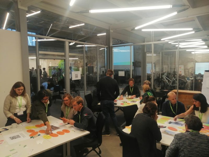
Our workshop on bikeability assessment
On Thursday Lucas discussed his thoughts on how to develop a different view on measuring transport accessibility in the cycling city. The way accessibility is currently measured stems from a very car-centric view on transport planning, in which the trip towards the destination is considered solely a disutility, and not having any value in itself. When cycling, however, movement can give us many pleasurable experiences because of the way we sense our environment and make small social interactions. These experiences can positively influence how accessible we perceive our destination to be. Given that we design our streets in a way that fosters them, of course. Such friendly human-centric street designs are not incentivized by our current conceptualization of accessibility. Considering ongoing developments in both data availability and data analysis tools, we are trying to include the benefits of movement in existing quantitative frameworks for accessibility assessment. This research is part of the EU-funded CITWIN project that officially started this month. We’ll announce more about it soon! At the end of the conference Lucas was one of the recipients of a “Best Camper Award”, awarded by the Urban Cycling Institute to presentations that aligned best with the camping principles of the conference. The gummies in the form of the infamous Schwebebahn trains were received and eaten with great joy, thanks!
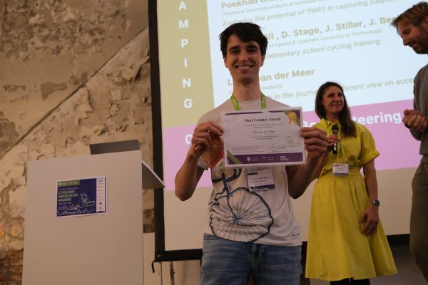
Lucas receiving one of the “Best Camper” awards
All in all, we had a lovely experience and travelled back home with many new ideas and lessons learned. A big thank you to the organizers in Wuppertal (in particular Cat Silva, Leonard Ainring and Heather Kaths) as well as to the Urban Cycling Institute for putting together such a special event! We are already looking forward to packing our tents and sleeping mats for next year, when ETH in Zürich will be the host.
Leave A Comment